October 7, 2018 - Susquehanna River - York area
There was nothing going on flying-wise this Sunday, but I felt like flying, so I hoped into the plane and crossed over to the Eastern Shore and headed north. I figured I would fly up the Susquehanna and around the York area.
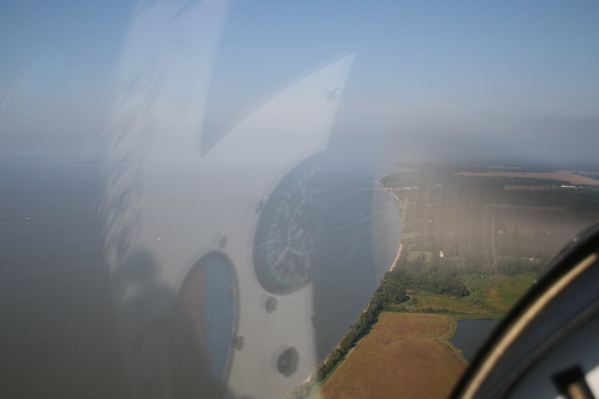
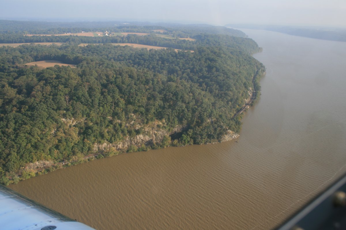
I was surprised by how hazy it was over the Eastern Shore.
Just south of the Sassafras River is this delta which can be very beautiful with bright red maples at peak color. I saw it so once when flying the Corben Baby Ace years ago. But I've never been able to see it that good since, for some reason.
I can see my shadow while flying low over the delta.
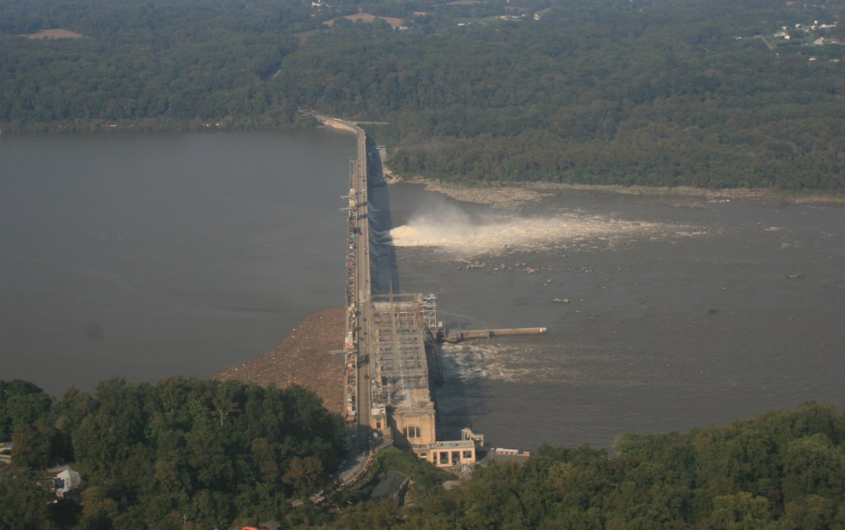
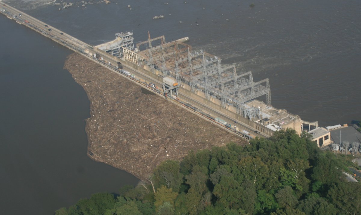
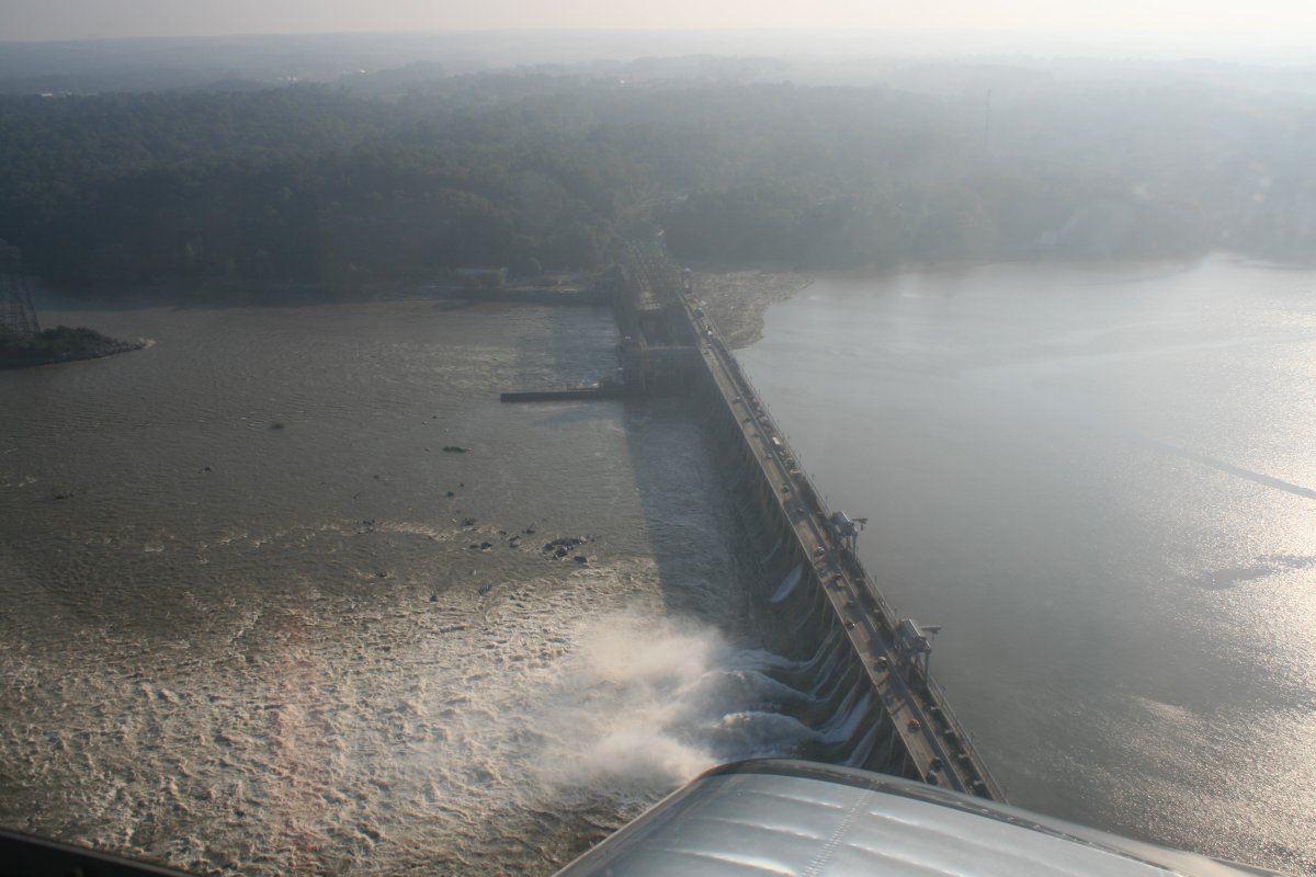
The dam was started in 1926. When completed in 1928, it was the second-largest hydroelectric project by power output in the United States after Niagara Falls.
The dam has 53 flood control gates, starting at the northeastern end of the powerhouse and spanning the majority of the dam. The flood gates are operated by four overhead cranes rated for 60 short tons. The cranes run on rails the length of the dam and are electrically powered from lines that run above the face of the dam. The flood gates have been opened on occasion over the years; the most recent being July 26, 2018, 20 of the 53 floodgates were opened due to rising floodwaters resulting from several days of torrential downpours in the Mid-Atlantic. The full ecological impact of this event is yet to be known, but already Chesapeake Bay ecologists are concerned about the health of the Chesapeake Bay with the influx of sediment and limiting nutrients, like phosphorus and nitrogen, impacting water clarity and promoting algal blooms. The Coast Guard issued warnings for all vessels in the Chesapeake Bay regarding the fields of debris, floating and submerged, that had been released when the floodgates opened.
You can see the debris backing up on the southwest corner of the dam. When they open the flood gates, all that debris gets washed right into the Chesapeake Bay.
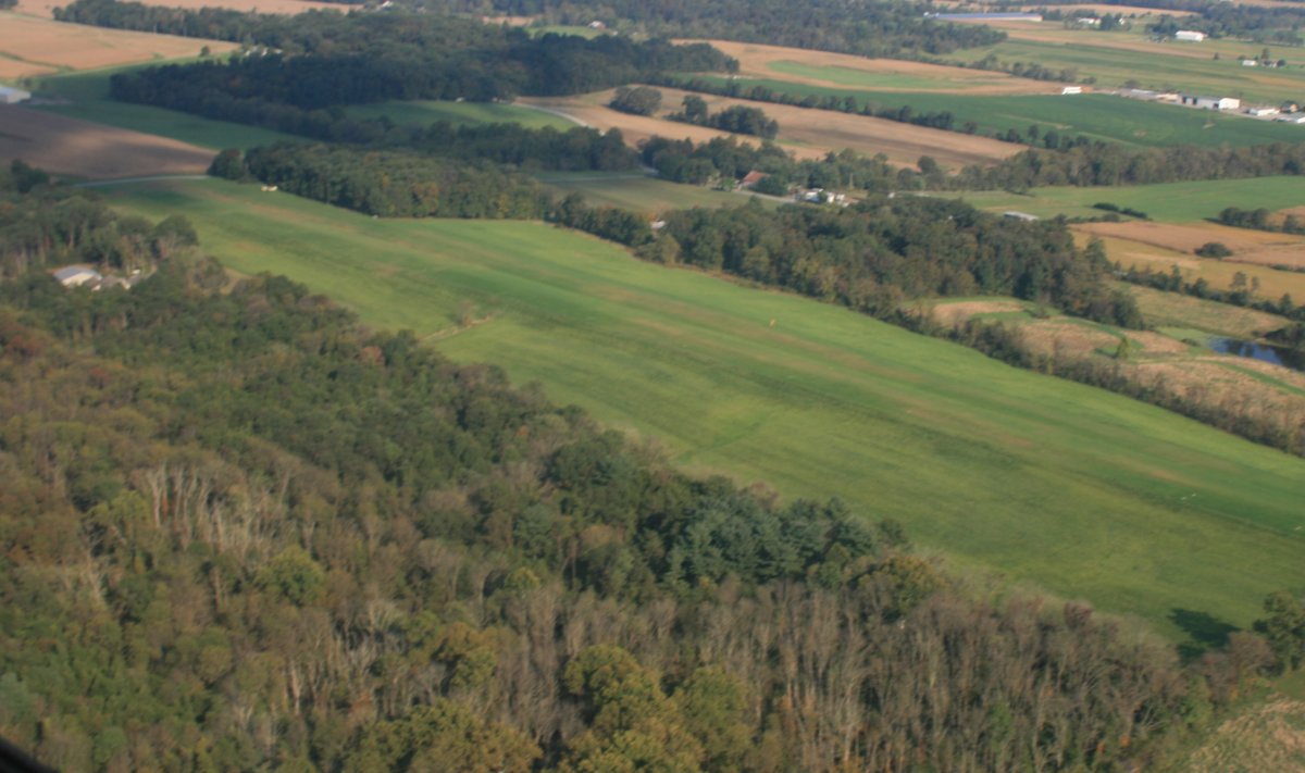
I checked out Shoestring Airport (0P2) which is a short grass strip. I've heard about it; never seen it. Today's the day!
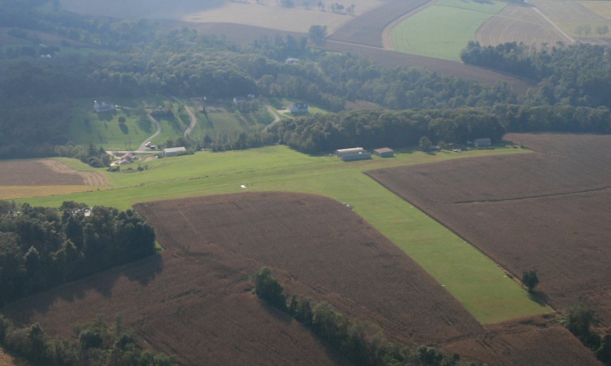
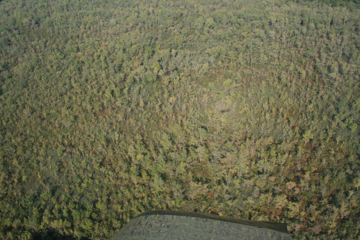
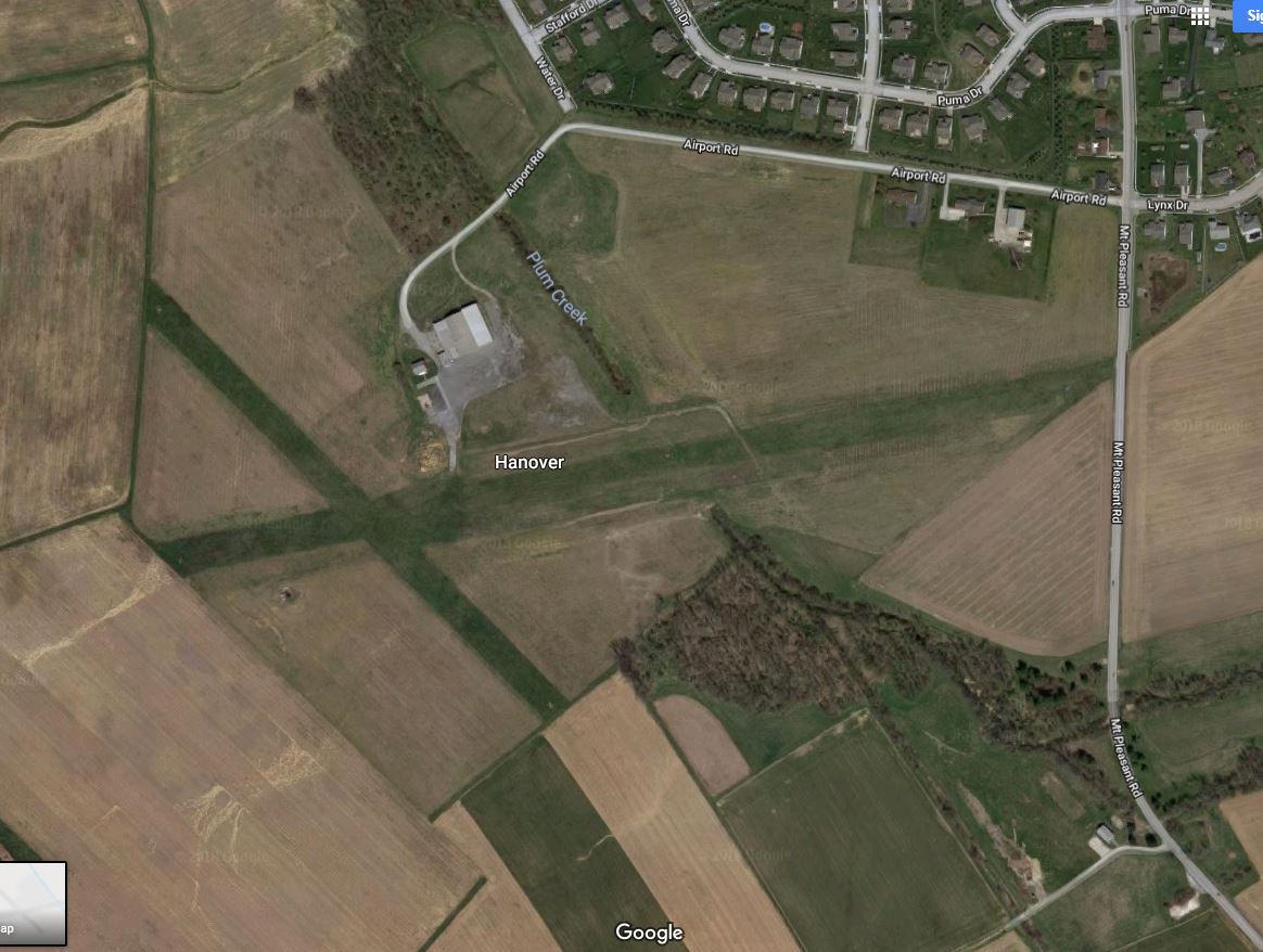
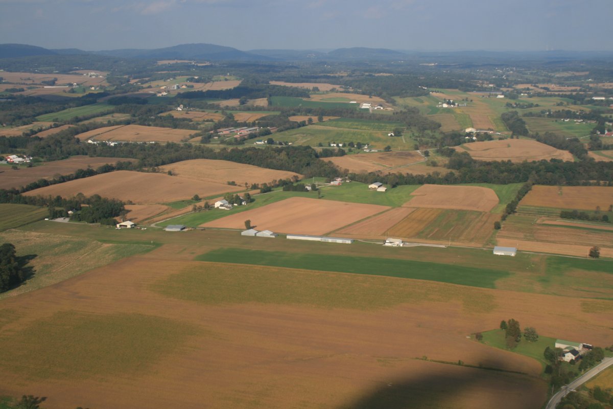
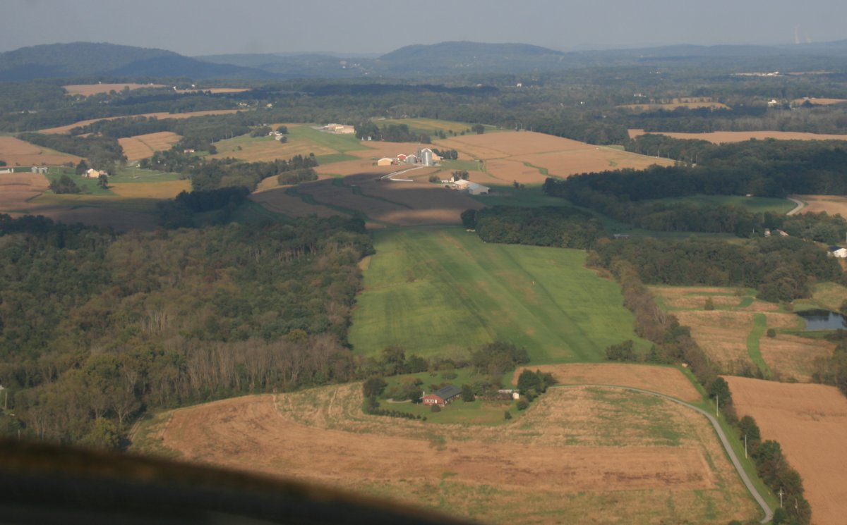
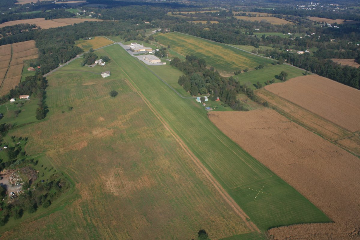
I was looking for Hanover (6W6), an grass field that was on the Washington sectional only a few years ago. It should be below, but isn't. Back at home, it popped up instantly on Google maps. And it is in this picture! That building by itself at center right is a big hangar with a ramp facing right. But the runways are not visible in this photo. So the airport no longer exists.
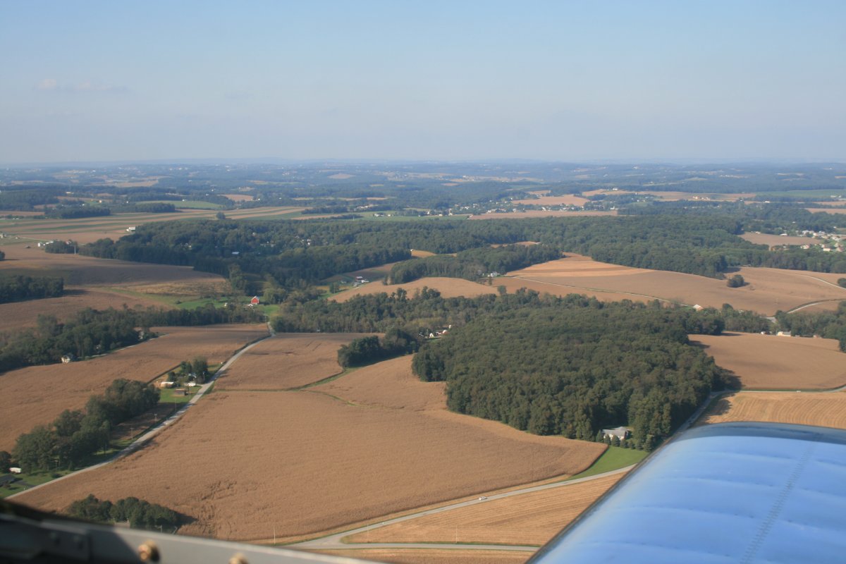
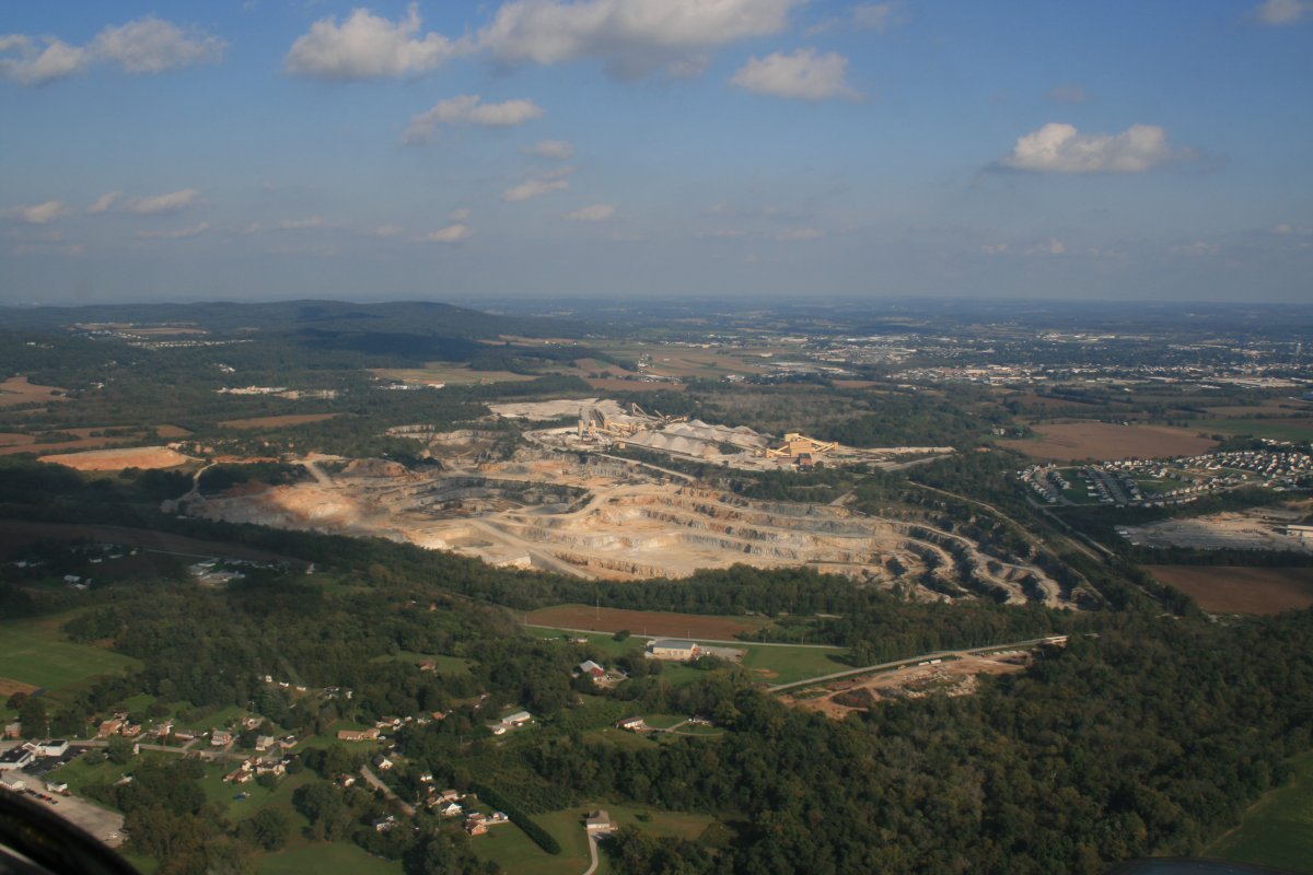
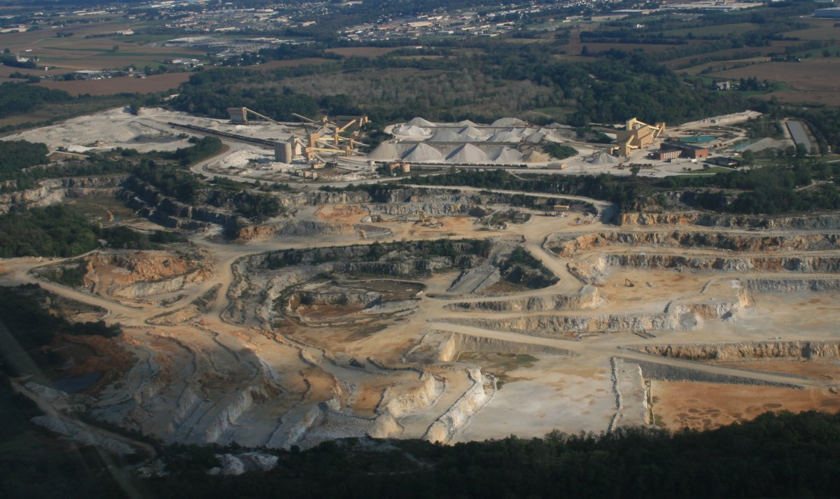
Gettysburg was just a little further west but I turned north and passed this huge quarry.
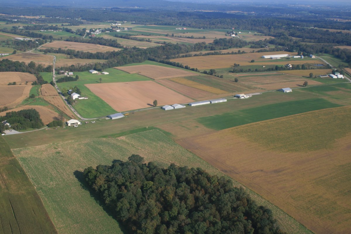
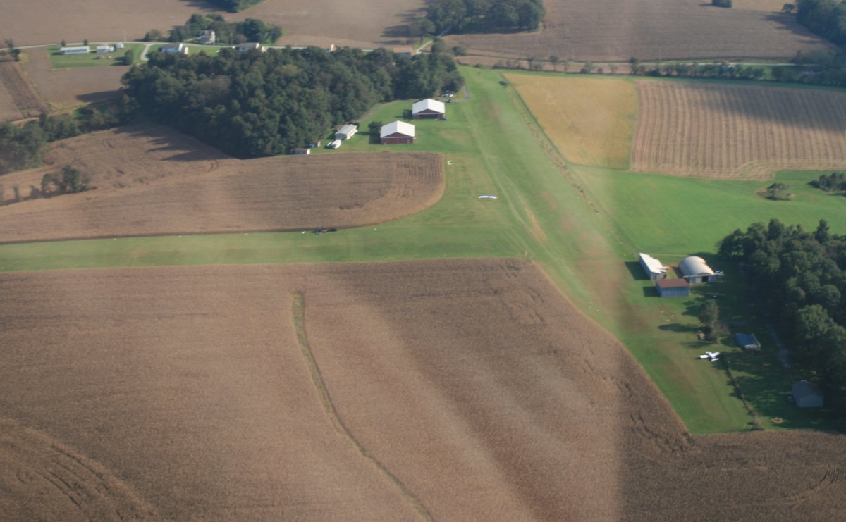
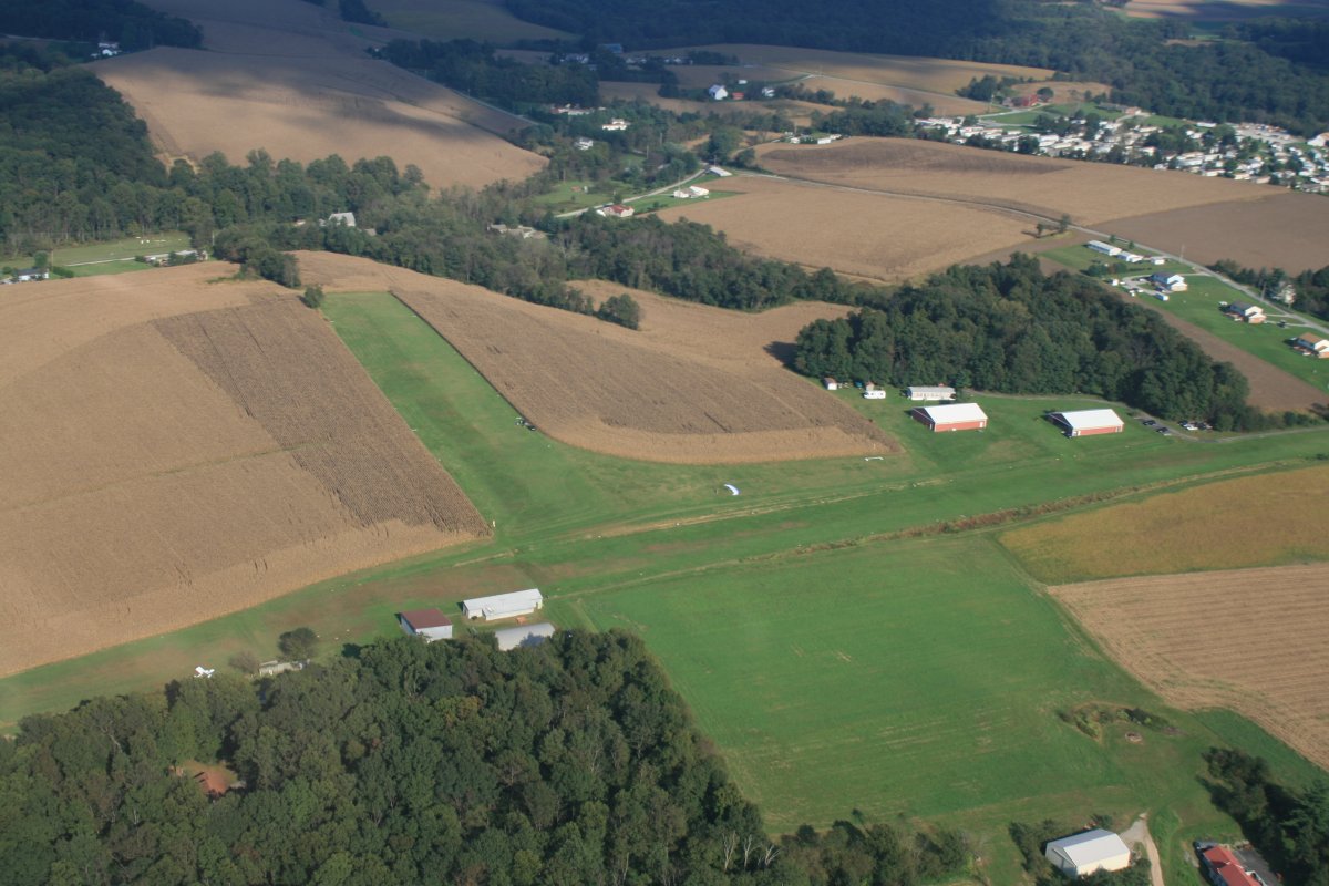
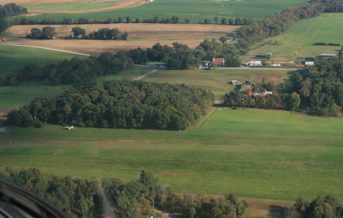
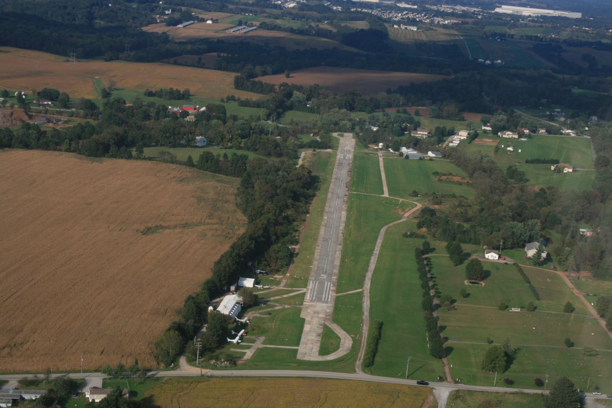
Next up is Shreveport North (62PA), which is privately owned. But the Mason Dixon Sport Flyers always have a Father's Day fly-in here which is geared mostly towards ultralights. But the grass runway is 2,600 feet so it would not be a problem for most general aviation planes. I took off and landed here once in the old Kolb Ultrastar! I was trying to sell it at the time.
There is a single yellow and white Cessna 195 that has been based here forever.
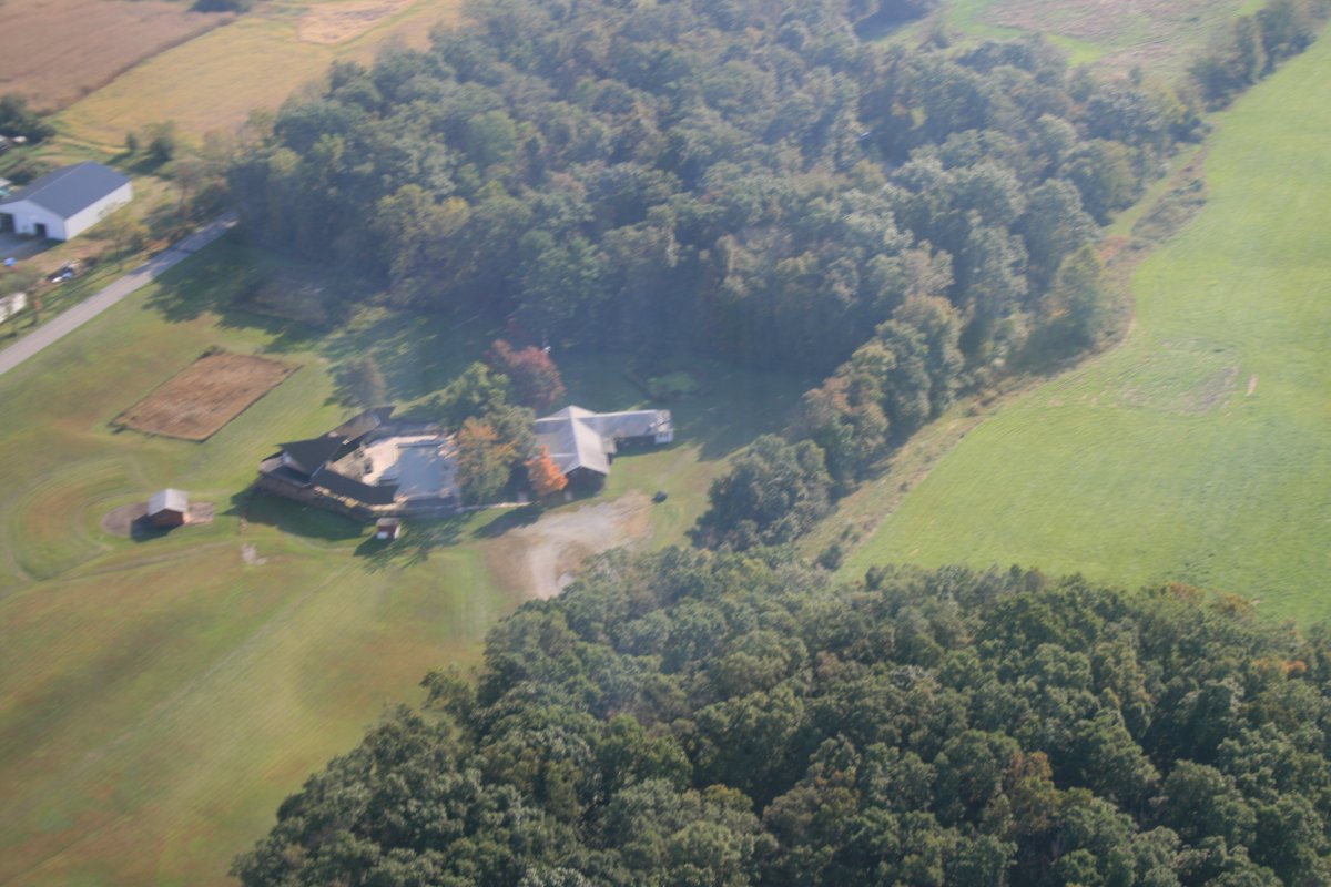
Finally, there was Kampel (2N5) which I know nothing about except it is privately owned but public use.
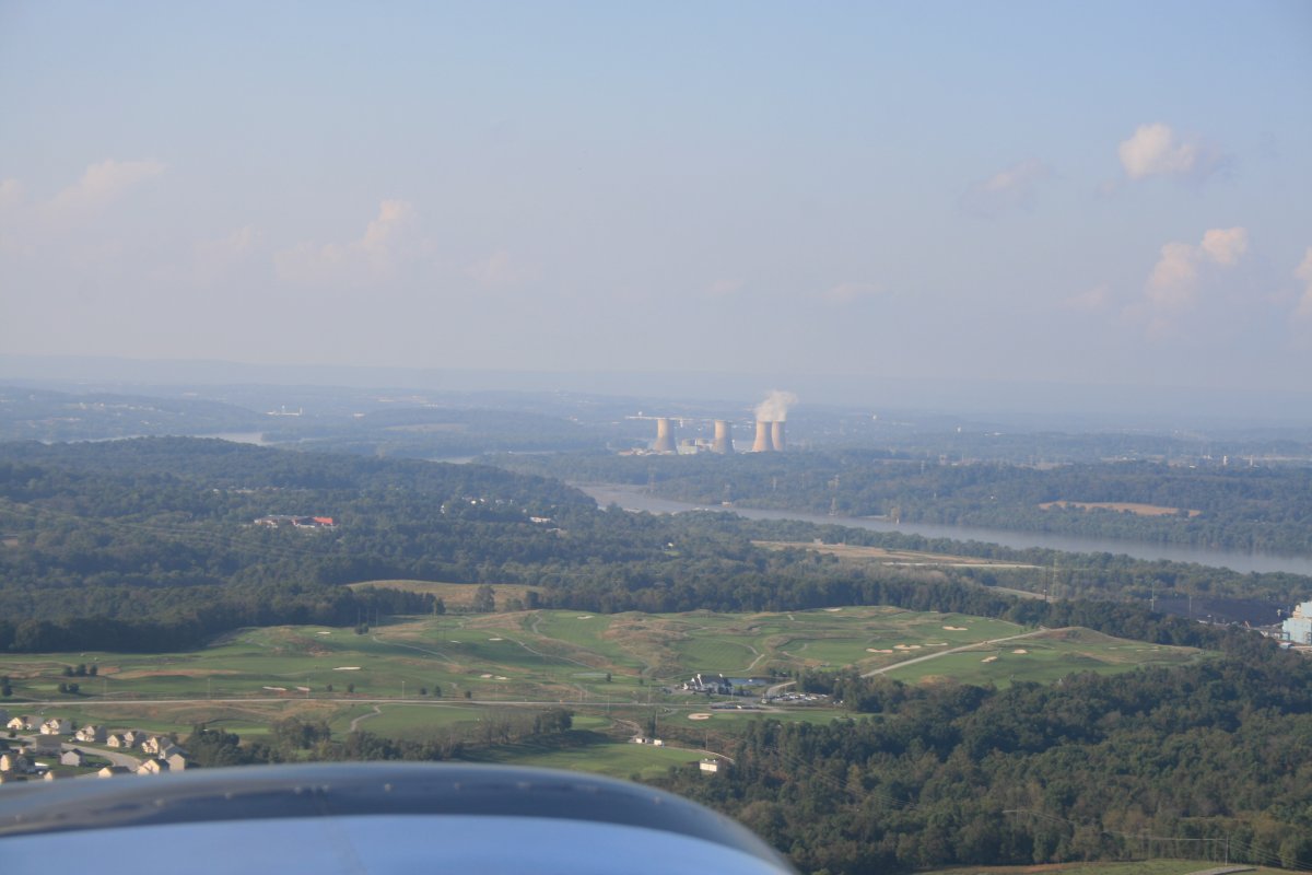
As I approach the Susquehanna River, I can see Three Mile Island in the distance, with the nuclear power plant cooling towers clearly visible.
Turning southeast, I head down the river.
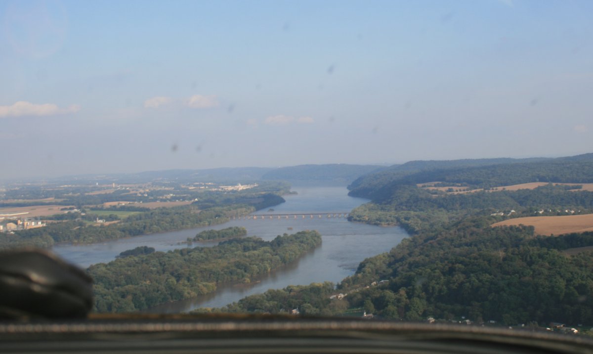
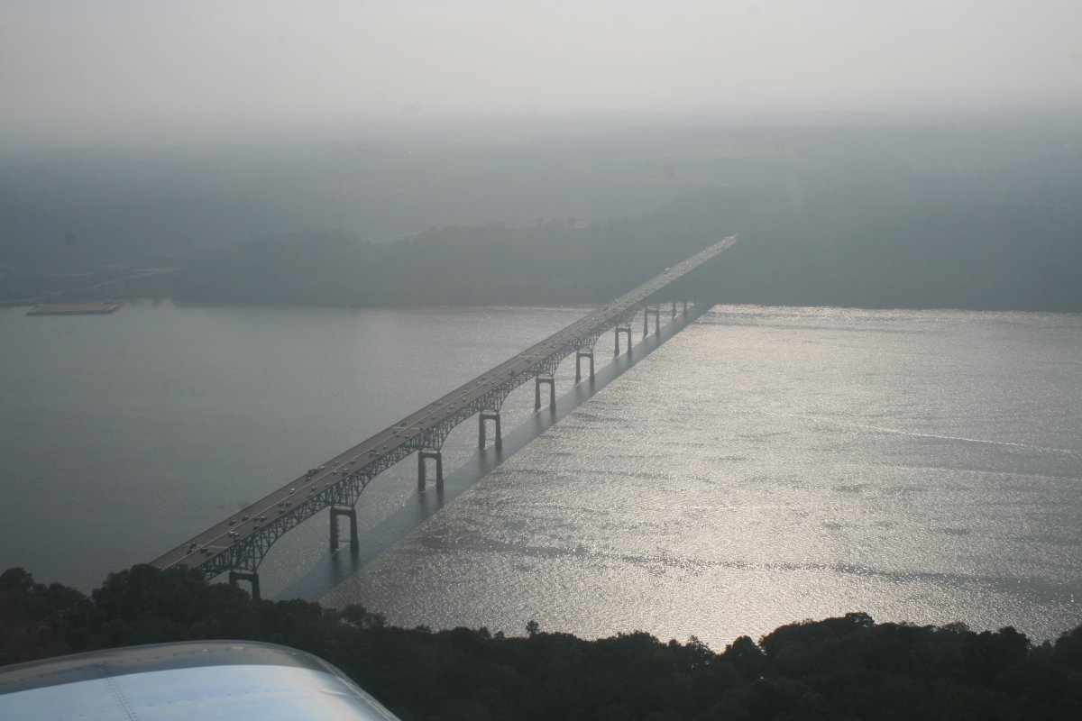
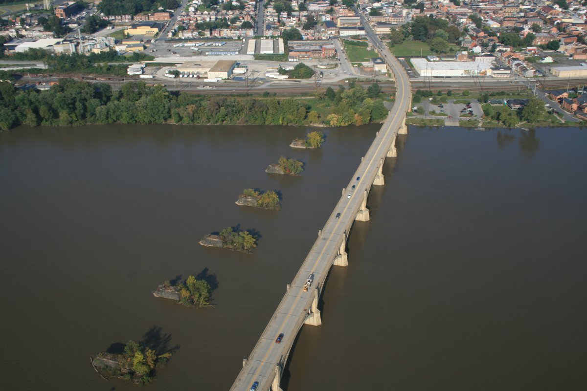
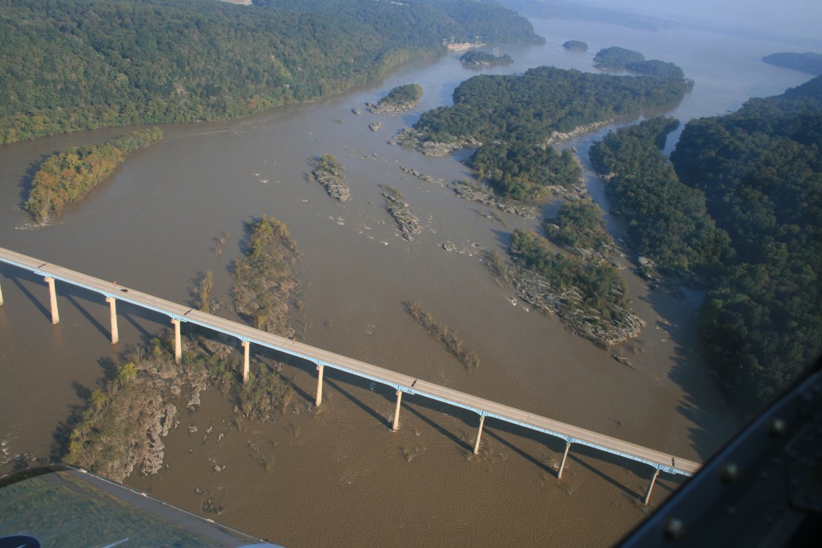
Approaching the Wrights Ferry Bridge, with the Veterans Memorial Bridge on the other side.
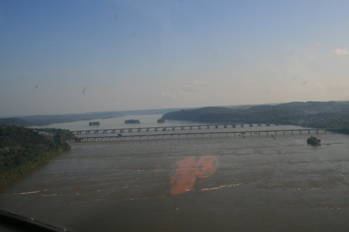
Veterans Memorial Bridge also connects to Columbia. Notice the remnants of a previous bridge to the left.
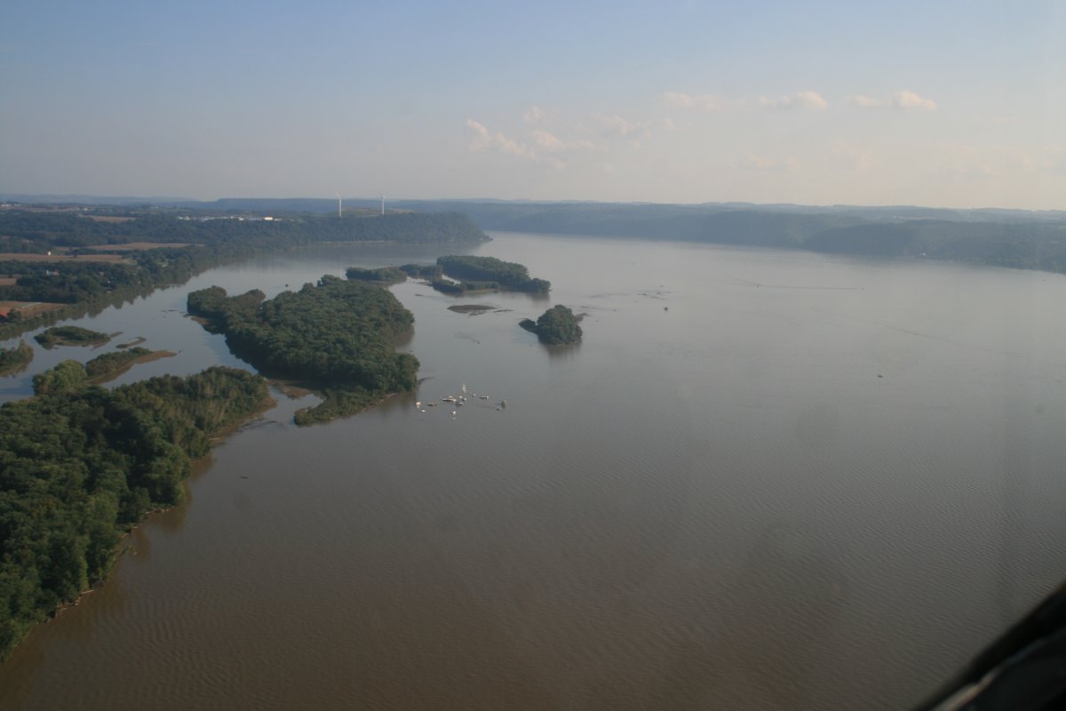
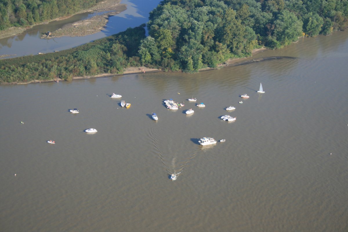
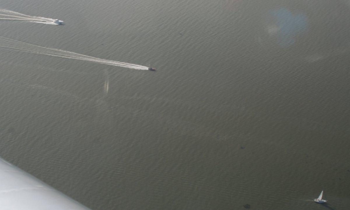
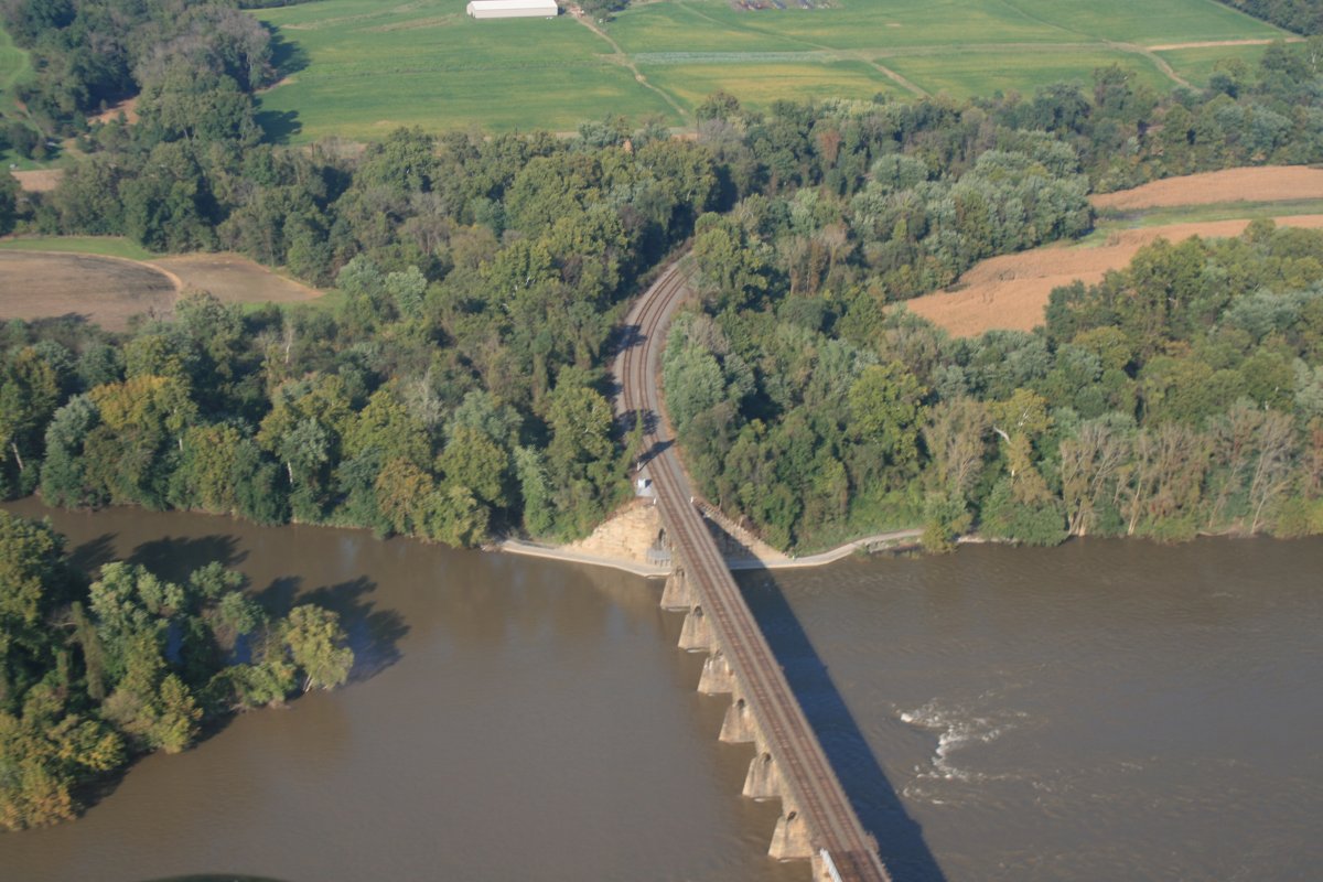
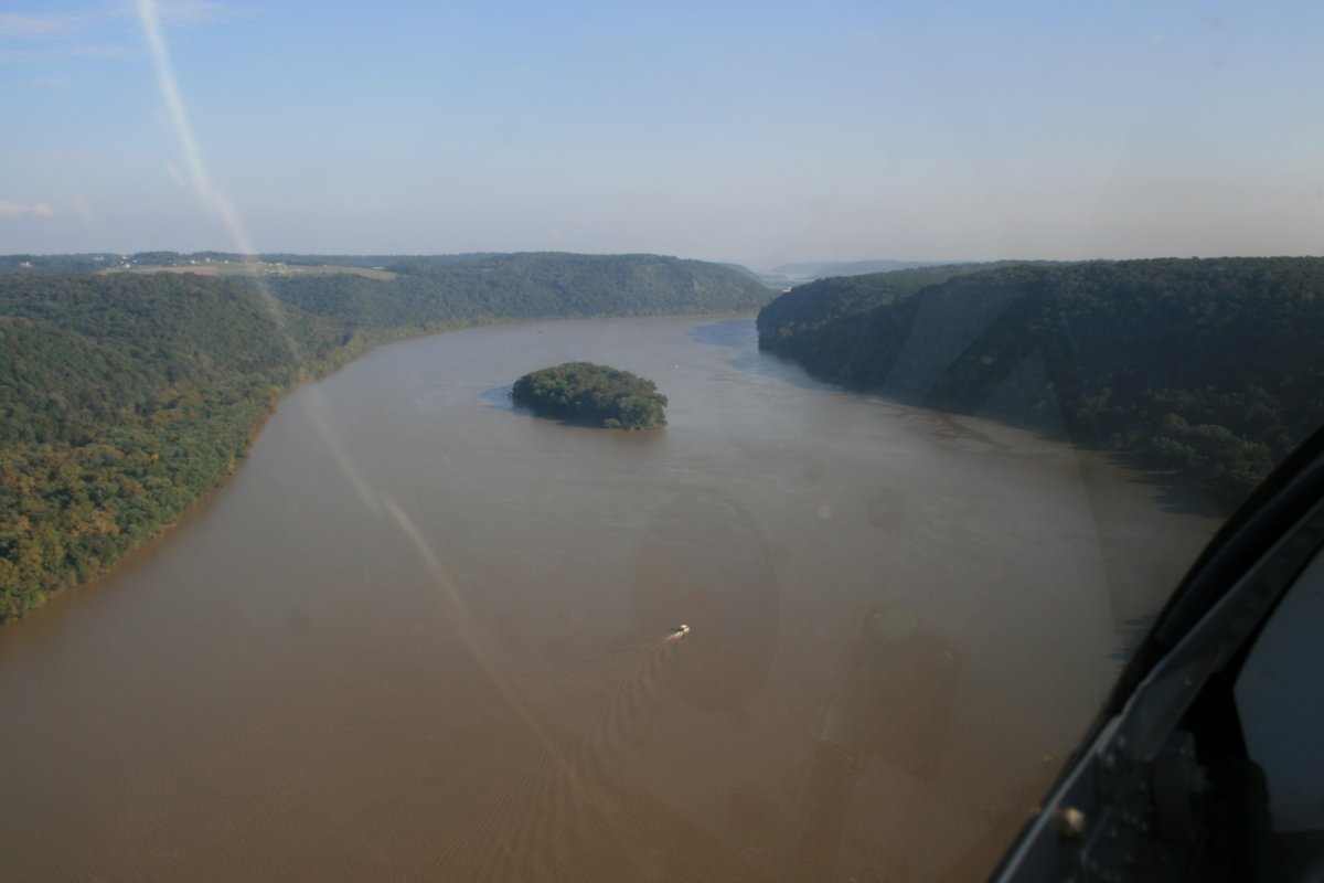
A single boat has the river to itself.
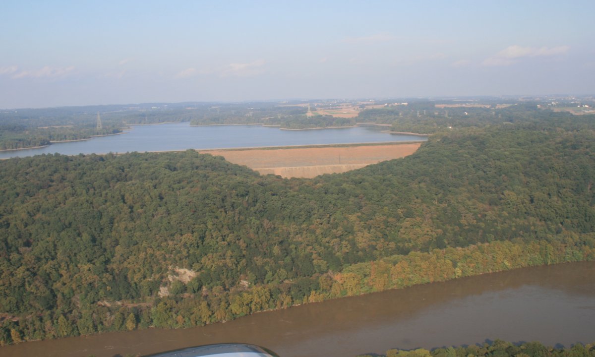
This is kind of interesting. A dam above and to the side of a river. It's the Muddy Run Power Reservoir.
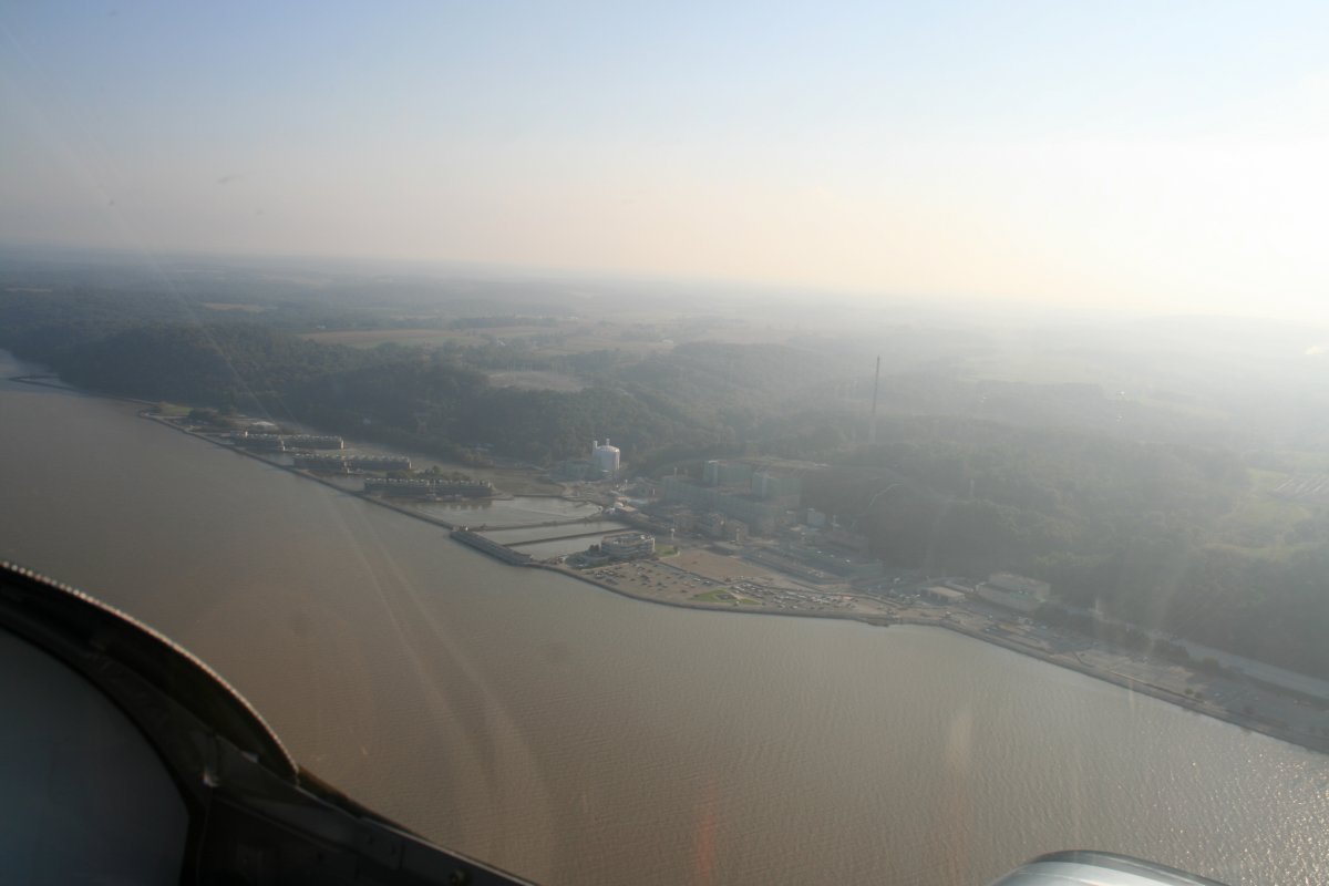
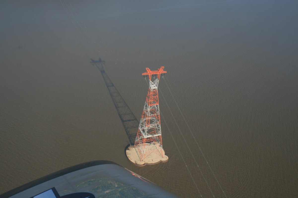
Passing by the Conowingo Dam again -- I'm back in Maryland now -- and into the haze.
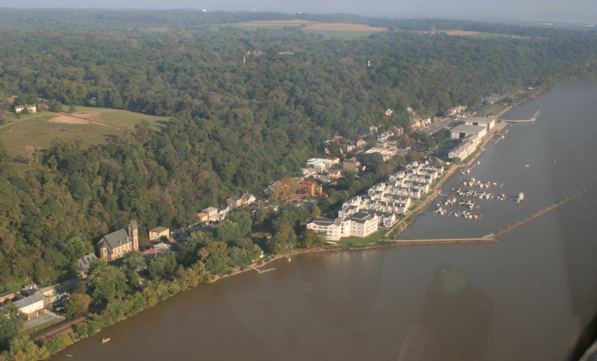
The little town of Port Deposit -- population 653 -- nestled on the northeast side of the river.
When I landed back at home base, I was surprised to see I had been flying 2 1/2 hours. How time flies when you are having fun!